Visual Interpretation
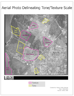
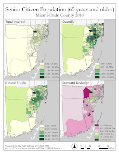
Two maps created during Module 1 of GIS4035. Each one depicts different attributes when visually interpreting aerial photos.
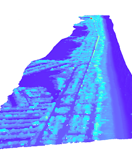
For this week in GIS4035, we were introduced to the basic concepts of visually identifying features in a vertical photograph. The shared language of visual analysis was emphasized. As visual creatures, we automatically "know" that an object is a tree or a forest, but as analysts, it is important to have a vocabulary to accurately describe and categorize objects and phenomena.


Comments
Post a Comment