ERDAS Imagine and Digital Data

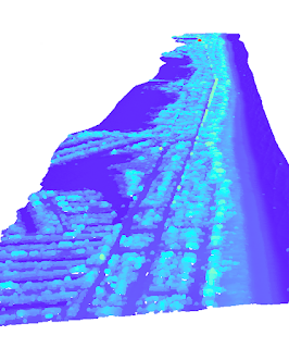
The map we created depicts the different land cover classifications of a small area of raster imagery. My son is sitting on my lap as I write this. He asked why is it all blocks and, in a way, I think that question encapsulates this week's lesson. I explained to him, each block (pixel) represents a block just like Minecraft. Each block can only be one thing: dirt, rock, grass, etc. The more blocks you have, the more you can build. The higher the radiometric value, the more we can build!
Comments
Post a Comment