Spatial Enhancement
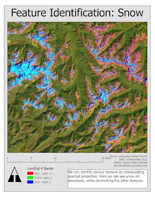
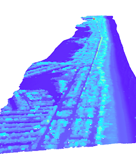
This week in GIS4035 we were introduced to spatial enhancement techniques, multispectral data, and band indices. First, we were tasked with downloading data through GLOVIS, which is surprisingly nice for a government website. After acquiring the data, we needed to preprocess it. In ERDAS Imagine we used a 3x3 low pass filter, a 3x3 high pass filter, and a 3x3 sharpen filter. In ArcGIS Pro, we experimented with other filters, such as focal stats mean and range. We also compared histogram manipulation techniques in both programs. Lastly, we experimented with multispectral bands to highlight or suppress features in the image.


Comments
Post a Comment