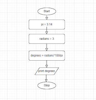
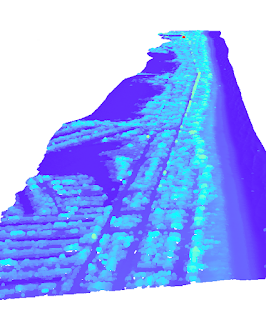
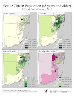
As an introduction to Python, which is a computing language that is embedded in ArcGIS Pro, we were tasked with creating a flow chart and pseudocode for converting radians into degrees. Flowcharts are a visual method of planning, which is an especially important process to complete before delving into complicated code.
Flowchart created in iodraw.com
The aim of this exercise was to introduce us to calling up IDLE and ArcGIS Notebooks. IDLE looks like the stereotypical coding interface with its intimating emptiness and blocky text; whereas Notebooks is nearly the opposite with its bright, white interface, menu options, and bubbly outlining. Both programs act as language interpreters for the Python coding language, converting user commands into binary which is then read and executed by the computer processing system.


Comments
Post a Comment