Geoprocessing with Python
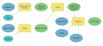
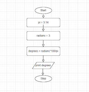
Modeling is a valuable tool for creating a visual guide for sequencing geoprocessing tasks. Laying out step-by-step visuals aids in problem-solving, creates solid code, and results in tools that can help other GIS analysts. ArcGIS Pro incorporates visualization with ModelBuilder. Even though the geoprocessing sequence can be elaborate, using ModelBuilder provides a clean, organized workspace to visualize the entire process.
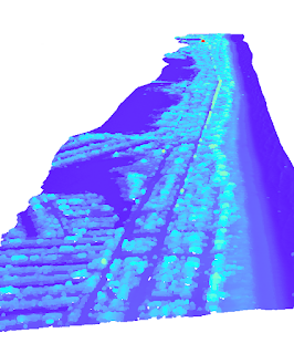
We built upon our geoprocessing knowledge by writing our own Python scripts. For our assignment, we needed to create a script that would add XY coordinate points to a point shapefile of Austin area hospitals. Then the updated file needed a 1000 meter buffer with dissolve. Finally, we need the script to return a print message confirming each function was executed. The final outputs are pictured below.
A sample ModleBuilder from Esri


Comments
Post a Comment